Housing at East Sleekburn
Introduction
The photograph on this page of Housing at East Sleekburn by Russel Wills as part of the Geograph project.
The Geograph project started in 2005 with the aim of publishing, organising and preserving representative images for every square kilometre of Great Britain, Ireland and the Isle of Man.

There are currently over 7.5m images from over 14,400 individuals and you can help contribute to the project by visiting https://www.geograph.org.uk
Housing at East Sleekburn
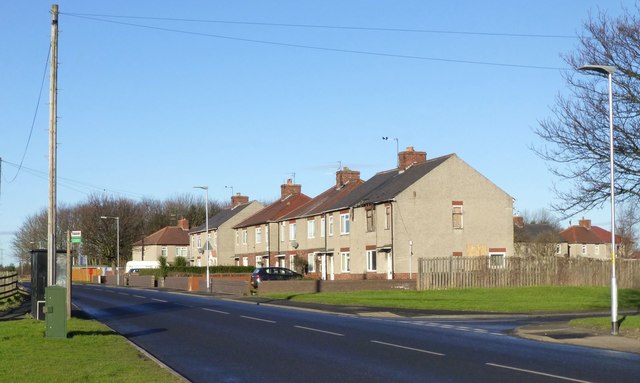
Image: © Russel Wills Taken: 10 Feb 2016
The power station that was opposite these houses has been demolished.
Images are licensed for reuse under creativecommons.org/licenses/by-sa/2.0
Image Location
Latitude
55.144779
Longitude
-1.534326