At the top of the slagbanks
Introduction
The photograph on this page of At the top of the slagbanks by Jonathan Thacker as part of the Geograph project.
The Geograph project started in 2005 with the aim of publishing, organising and preserving representative images for every square kilometre of Great Britain, Ireland and the Isle of Man.

There are currently over 7.5m images from over 14,400 individuals and you can help contribute to the project by visiting https://www.geograph.org.uk
At the top of the slagbanks
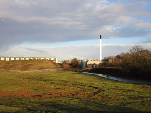
Image: © Jonathan Thacker Taken: 8 Feb 2016
The top of the old Lysaght's slagbanks have been levelled and an industrial estate has been developed on the site of the steelworks.
Images are licensed for reuse under creativecommons.org/licenses/by-sa/2.0
Image Location
Latitude
53.613406
Longitude
-0.66659