Protected crop by Oil Mill Lane
Introduction
The photograph on this page of Protected crop by Oil Mill Lane by Derek Harper as part of the Geograph project.
The Geograph project started in 2005 with the aim of publishing, organising and preserving representative images for every square kilometre of Great Britain, Ireland and the Isle of Man.

There are currently over 7.5m images from over 14,400 individuals and you can help contribute to the project by visiting https://www.geograph.org.uk
Protected crop by Oil Mill Lane
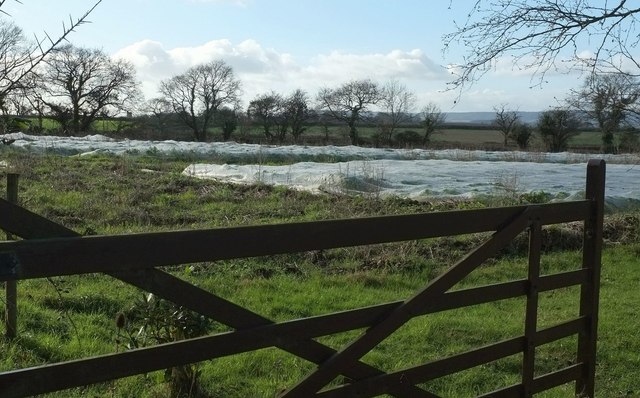
Image: © Derek Harper Taken: 28 Jan 2016
But what is wrapped up in plastic? The field boundary marked with a line of trees is the parish boundary between Clyst St Mary (this side) and Clyst St George.
Images are licensed for reuse under creativecommons.org/licenses/by-sa/2.0
Image Location
Latitude
50.699908
Longitude
-3.434347