The course of the Chesterfield Canal
Introduction
The photograph on this page of The course of the Chesterfield Canal by Jonathan Thacker as part of the Geograph project.
The Geograph project started in 2005 with the aim of publishing, organising and preserving representative images for every square kilometre of Great Britain, Ireland and the Isle of Man.

There are currently over 7.5m images from over 14,400 individuals and you can help contribute to the project by visiting https://www.geograph.org.uk
The course of the Chesterfield Canal
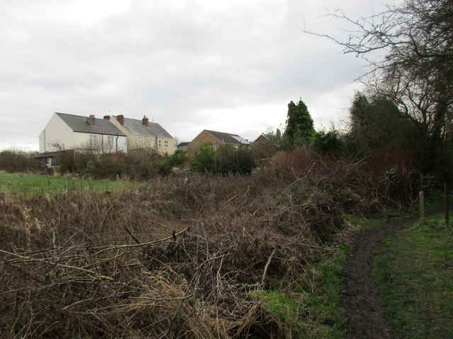
Image: © Jonathan Thacker Taken: 5 Feb 2016
Stretches of the Chesterfield Canal through Killamarsh have been obliterated. Here the line of the canal is clearly visible with the footpath on the right being the former towpath. However, immediately beyond the hedge running across the centre of the picture the canal has been lost being incorporated into the gardens of the houses in Primrose Lane.
Images are licensed for reuse under creativecommons.org/licenses/by-sa/2.0
Image Location
Latitude
53.329232
Longitude
-1.310474