Killamarsh Greenway
Introduction
The photograph on this page of Killamarsh Greenway by Jonathan Thacker as part of the Geograph project.
The Geograph project started in 2005 with the aim of publishing, organising and preserving representative images for every square kilometre of Great Britain, Ireland and the Isle of Man.

There are currently over 7.5m images from over 14,400 individuals and you can help contribute to the project by visiting https://www.geograph.org.uk
Killamarsh Greenway
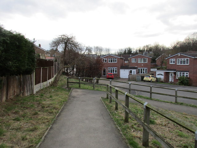
Image: © Jonathan Thacker Taken: 5 Feb 2016
At the end of Pingle Road. The Killamarsh Greenway is a pedestrian route through the village utlising footpaths, former railways and the former Chesterfield Canal towpath.
Images are licensed for reuse under creativecommons.org/licenses/by-sa/2.0
Image Location
Latitude
53.325263
Longitude
-1.308136