Blaby
Introduction
The photograph on this page of Blaby by Mat Fascione as part of the Geograph project.
The Geograph project started in 2005 with the aim of publishing, organising and preserving representative images for every square kilometre of Great Britain, Ireland and the Isle of Man.

There are currently over 7.5m images from over 14,400 individuals and you can help contribute to the project by visiting https://www.geograph.org.uk
Blaby
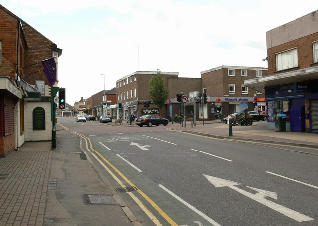
Image: © Mat Fascione Taken: 29 Jun 2007
Looking south along Leicester Road towards its junction with Enderby Road at Forge Corner.
Images are licensed for reuse under creativecommons.org/licenses/by-sa/2.0
Image Location
Latitude
52.575963
Longitude
-1.163714