Stifford Road (old route) near corner into Foyle Drive
Introduction
The photograph on this page of Stifford Road (old route) near corner into Foyle Drive by Robin Webster as part of the Geograph project.
The Geograph project started in 2005 with the aim of publishing, organising and preserving representative images for every square kilometre of Great Britain, Ireland and the Isle of Man.

There are currently over 7.5m images from over 14,400 individuals and you can help contribute to the project by visiting https://www.geograph.org.uk
Stifford Road (old route) near corner into Foyle Drive
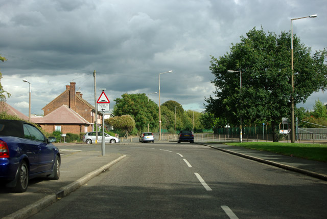
Image: © Robin Webster Taken: 18 Sep 2011
The B1335 over to the right has bypassed this bit of Stifford Road, which now just acts as a lead in to Foyle Drive, left at the bend.
Images are licensed for reuse under creativecommons.org/licenses/by-sa/2.0
Image Location
Latitude
51.503397
Longitude
0.27638