Looking northeast along Canterbury Road (A28)
Introduction
The photograph on this page of Looking northeast along Canterbury Road (A28) by John Baker as part of the Geograph project.
The Geograph project started in 2005 with the aim of publishing, organising and preserving representative images for every square kilometre of Great Britain, Ireland and the Isle of Man.

There are currently over 7.5m images from over 14,400 individuals and you can help contribute to the project by visiting https://www.geograph.org.uk
Looking northeast along Canterbury Road (A28)
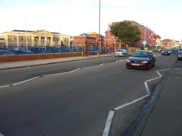
Image: © John Baker Taken: 13 Jan 2016
In the distance, beyond the tree, is the former Nurses Home of the Royal Sea Bathing Hospital at 38, Canterbury Road. Planning permission has been granted by Canterbury City Council under application number F/TH/11/0893 for a “change of use and conversion of former nurses hostel and offices into 29 self contained flats, with the erection of 5th floor extension, alterations to external fenestration and insertion of balconies, together with provision of 9 parking spaces and associated refuse storage, cycle parking and landscaping”.
Images are licensed for reuse under creativecommons.org/licenses/by-sa/2.0
Image Location
Latitude
51.385106
Longitude
1.367523