A689 entering Stanhope
Introduction
The photograph on this page of A689 entering Stanhope by Trevor Littlewood as part of the Geograph project.
The Geograph project started in 2005 with the aim of publishing, organising and preserving representative images for every square kilometre of Great Britain, Ireland and the Isle of Man.

There are currently over 7.5m images from over 14,400 individuals and you can help contribute to the project by visiting https://www.geograph.org.uk
A689 entering Stanhope
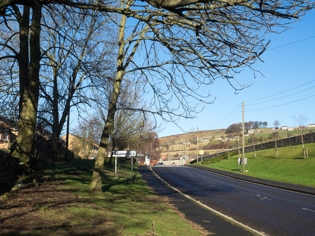
Image: © Trevor Littlewood Taken: 3 Feb 2016
The A689 arriving at the south-eastern end of Stanhope close to Shittlehope. The road sign announcing the village name is of black lettering on a white background rather than the blue and yellow found very frequently in County Durham.
Images are licensed for reuse under creativecommons.org/licenses/by-sa/2.0
Image Location
Latitude
54.742365
Longitude
-1.997328