Langley Way, Watford
Introduction
The photograph on this page of Langley Way, Watford by Stephen McKay as part of the Geograph project.
The Geograph project started in 2005 with the aim of publishing, organising and preserving representative images for every square kilometre of Great Britain, Ireland and the Isle of Man.

There are currently over 7.5m images from over 14,400 individuals and you can help contribute to the project by visiting https://www.geograph.org.uk
Langley Way, Watford
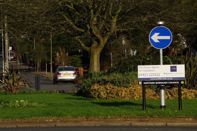
Image: © Stephen McKay Taken: 30 Jan 2016
Looking along Langley Way from the junction with Cassiobury Drive on the leafy Cassiobury Estate. A local estate agent appears to have sponsored the roundabout.
Images are licensed for reuse under creativecommons.org/licenses/by-sa/2.0
Image Location
Latitude
51.667321
Longitude
-0.41764