Sandgate
Introduction
The photograph on this page of Sandgate by Ian Capper as part of the Geograph project.
The Geograph project started in 2005 with the aim of publishing, organising and preserving representative images for every square kilometre of Great Britain, Ireland and the Isle of Man.

There are currently over 7.5m images from over 14,400 individuals and you can help contribute to the project by visiting https://www.geograph.org.uk
Sandgate
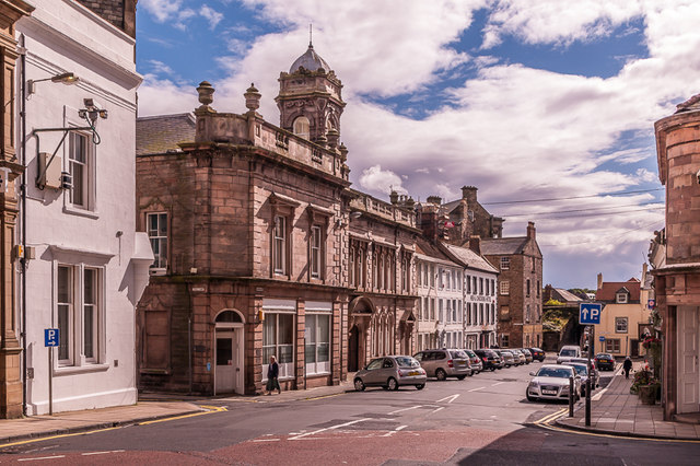
Image: © Ian Capper Taken: 15 Aug 2011
Looking down Sandgate, with the mid 19th Century former Corn Exchange in the centre of the photo.
Images are licensed for reuse under creativecommons.org/licenses/by-sa/2.0
Image Location
Latitude
55.767606
Longitude
-2.003162