Rhymney Line from Brithdir towards Bargoed
Introduction
The photograph on this page of Rhymney Line from Brithdir towards Bargoed by Jaggery as part of the Geograph project.
The Geograph project started in 2005 with the aim of publishing, organising and preserving representative images for every square kilometre of Great Britain, Ireland and the Isle of Man.

There are currently over 7.5m images from over 14,400 individuals and you can help contribute to the project by visiting https://www.geograph.org.uk
Rhymney Line from Brithdir towards Bargoed
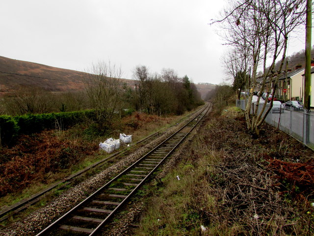
Image: © Jaggery Taken: 23 Jan 2016
Viewed from the entrance path http://www.geograph.org.uk/photo/4811460 to Brithdir railway station. Station Terrace is on the right. The railway here uses flat land on the west bank of the Rhymney River. Bargoed station is about 2km ahead.
Images are licensed for reuse under creativecommons.org/licenses/by-sa/2.0
Image Location
Latitude
51.708247
Longitude
-3.227362