Langham Road level crossing
Introduction
The photograph on this page of Langham Road level crossing by Alan Murray-Rust as part of the Geograph project.
The Geograph project started in 2005 with the aim of publishing, organising and preserving representative images for every square kilometre of Great Britain, Ireland and the Isle of Man.

There are currently over 7.5m images from over 14,400 individuals and you can help contribute to the project by visiting https://www.geograph.org.uk
Langham Road level crossing
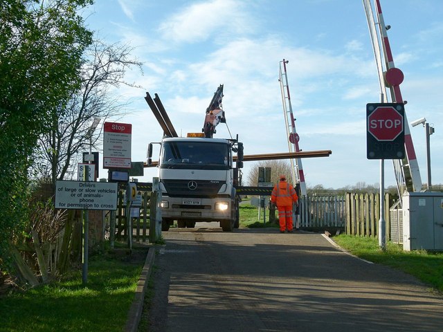
Image: © Alan Murray-Rust Taken: 28 Jan 2016
Normally the barriers are held closed to road traffic, with a plunger to inform the signaller when a vehicle or pedestrian wishes to cross, but on this occasion a lorry was delivering rail to site, right on the crossing.
Images are licensed for reuse under creativecommons.org/licenses/by-sa/2.0
Image Location


Leaflet Map data © OpenStreetMap
Latitude
52.711574
Longitude
-0.724299