Sangers Drive looking towards Court Lodge Road
Introduction
The photograph on this page of Sangers Drive looking towards Court Lodge Road by David Howard as part of the Geograph project.
The Geograph project started in 2005 with the aim of publishing, organising and preserving representative images for every square kilometre of Great Britain, Ireland and the Isle of Man.

There are currently over 7.5m images from over 14,400 individuals and you can help contribute to the project by visiting https://www.geograph.org.uk
Sangers Drive looking towards Court Lodge Road
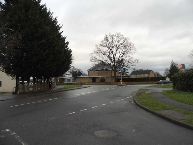
Image: © David Howard Taken: 31 Jan 2016
Vicarage Road is opposite looking towards the Catholic Church of the English Martyrs
Images are licensed for reuse under creativecommons.org/licenses/by-sa/2.0
Image Location
Latitude
51.17438
Longitude
-0.172204