Course of old railway, Bordon
Introduction
The photograph on this page of Course of old railway, Bordon by Robin Webster as part of the Geograph project.
The Geograph project started in 2005 with the aim of publishing, organising and preserving representative images for every square kilometre of Great Britain, Ireland and the Isle of Man.

There are currently over 7.5m images from over 14,400 individuals and you can help contribute to the project by visiting https://www.geograph.org.uk
Course of old railway, Bordon
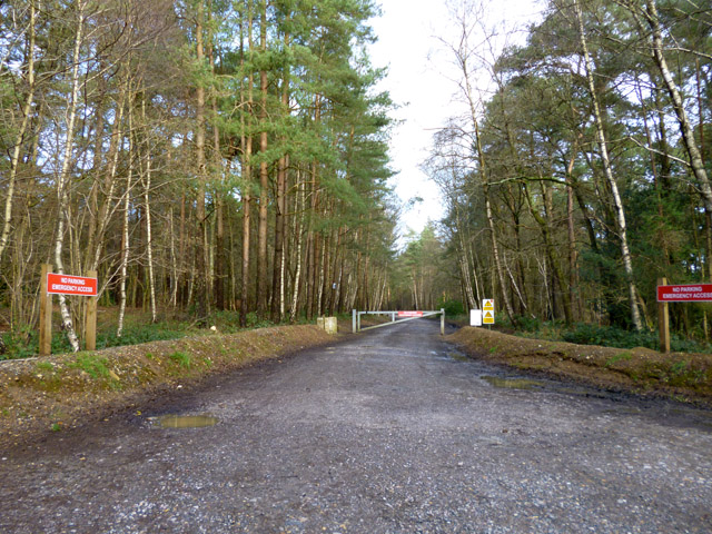
Image: © Robin Webster Taken: 30 Jan 2016
This was the Longmoor Military Railway connection to Bordon station on the branch from Bentley. It described a 180 degree loop ahead to the left before joining the civil line (but with its own platforms) facing the buffer stops at Bordon. The near area was the site of Oakhanger station on the military railway. The connection to Bordon closed with the Bordon branch in 1966, but it is believed Oakhanger remained open, at least in principle, until the military railway closed in 1969.
Images are licensed for reuse under creativecommons.org/licenses/by-sa/2.0
Image Location
Latitude
51.11931
Longitude
-0.874655