Ffarm Capel Dyddgen Farm
Introduction
The photograph on this page of Ffarm Capel Dyddgen Farm by Alan Richards as part of the Geograph project.
The Geograph project started in 2005 with the aim of publishing, organising and preserving representative images for every square kilometre of Great Britain, Ireland and the Isle of Man.

There are currently over 7.5m images from over 14,400 individuals and you can help contribute to the project by visiting https://www.geograph.org.uk
Ffarm Capel Dyddgen Farm
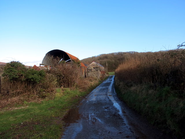
Image: © Alan Richards Taken: 30 Jan 2016
Yn agosau at Ffarm Capel Dyddgen a enwyd ar ol yr eglwys gerllaw sy bellach yn adfail. Approaching Capel Dyddgen Farm named after the nearby ruined church.
Images are licensed for reuse under creativecommons.org/licenses/by-sa/2.0
Image Location
Latitude
51.791446
Longitude
-4.228553