Union Place
Introduction
The photograph on this page of Union Place by Stephen Craven as part of the Geograph project.
The Geograph project started in 2005 with the aim of publishing, organising and preserving representative images for every square kilometre of Great Britain, Ireland and the Isle of Man.

There are currently over 7.5m images from over 14,400 individuals and you can help contribute to the project by visiting https://www.geograph.org.uk
Union Place
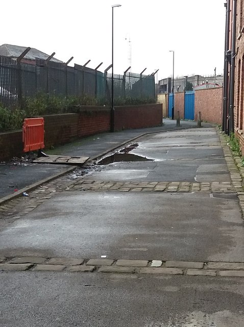
Image: © Stephen Craven Taken: 23 Jan 2016
This urban footpath west of Marshall Street follows part of the line of a historic right of way running roughly east-west through Holbeck that can be followed on old and new maps. See Image for the view in the opposite direction, east of Marshall Street.
Images are licensed for reuse under creativecommons.org/licenses/by-sa/2.0
Image Location


Leaflet Map data © OpenStreetMap
Latitude
53.790235
Longitude
-1.553548