Conversion of 29, Athelstan Road
Introduction
The photograph on this page of Conversion of 29, Athelstan Road by John Baker as part of the Geograph project.
The Geograph project started in 2005 with the aim of publishing, organising and preserving representative images for every square kilometre of Great Britain, Ireland and the Isle of Man.

There are currently over 7.5m images from over 14,400 individuals and you can help contribute to the project by visiting https://www.geograph.org.uk
Conversion of 29, Athelstan Road
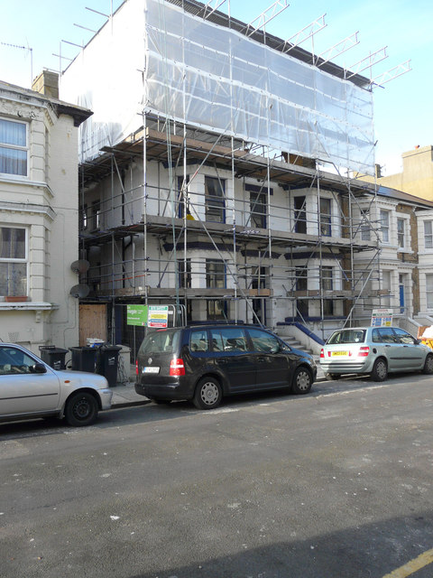
Image: © John Baker Taken: 13 Jan 2016
Planning permission has been granted by Thanet District Council under application number F/TH/14/0476 for a “change of use from house of multiple occupation to two, 3 bed flats and one, 2 bed flat, together with insertion of new windows and doors and formation of external stairs to side and rear elevation following demolition of existing single storey rear extension”.
Images are licensed for reuse under creativecommons.org/licenses/by-sa/2.0
Image Location
Latitude
51.390641
Longitude
1.39079