Chiltington Way, Saltdean
Introduction
The photograph on this page of Chiltington Way, Saltdean by Simon Carey as part of the Geograph project.
The Geograph project started in 2005 with the aim of publishing, organising and preserving representative images for every square kilometre of Great Britain, Ireland and the Isle of Man.

There are currently over 7.5m images from over 14,400 individuals and you can help contribute to the project by visiting https://www.geograph.org.uk
Chiltington Way, Saltdean
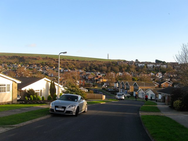
Image: © Simon Carey Taken: 28 Jan 2016
A residential road that runs between Saltdean Vale and Lustrells Vale that was developed during the 1960s with the southern part running roughly along what had originally been marked out in the 1930s as the northern part of Tremola Avenue.
Images are licensed for reuse under creativecommons.org/licenses/by-sa/2.0
Image Location
Latitude
50.808225
Longitude
-0.036786