Clunie
Introduction
The photograph on this page of Clunie by Anne Burgess as part of the Geograph project.
The Geograph project started in 2005 with the aim of publishing, organising and preserving representative images for every square kilometre of Great Britain, Ireland and the Isle of Man.

There are currently over 7.5m images from over 14,400 individuals and you can help contribute to the project by visiting https://www.geograph.org.uk
Clunie
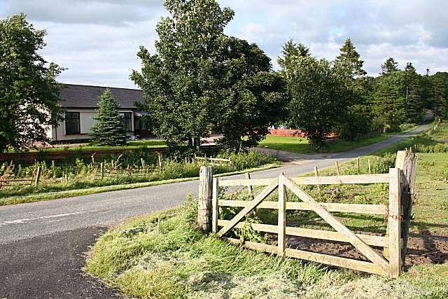
Image: © Anne Burgess Taken: 29 Jun 2007
According to older maps there was a school at this road junction, but it has clearly been replaced by modern bungalows.
Images are licensed for reuse under creativecommons.org/licenses/by-sa/2.0
Image Location
Latitude
57.531339
Longitude
-2.600011