Christ Church, Aberbeeg
Introduction
The photograph on this page of Christ Church, Aberbeeg by M J Roscoe as part of the Geograph project.
The Geograph project started in 2005 with the aim of publishing, organising and preserving representative images for every square kilometre of Great Britain, Ireland and the Isle of Man.

There are currently over 7.5m images from over 14,400 individuals and you can help contribute to the project by visiting https://www.geograph.org.uk
Christ Church, Aberbeeg
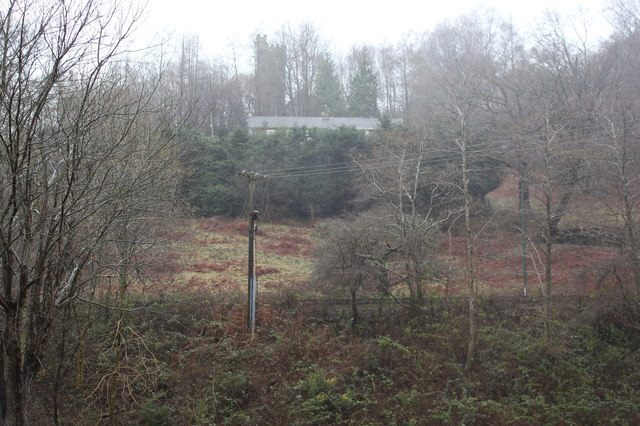
Image: © M J Roscoe Taken: 29 Jan 2016
Viewed through rain, across the river and A487, from near Railway Terrace. The church, in a state of disrepair, was declared redundant in 2012. Taken on the morning of Storm Gertrude.
Images are licensed for reuse under creativecommons.org/licenses/by-sa/2.0
Image Location
Latitude
51.707622
Longitude
-3.146877