Shirebrook Woods, Wood Lane, Sookholme, Notts.
Introduction
The photograph on this page of Shirebrook Woods, Wood Lane, Sookholme, Notts. by David Hallam-Jones as part of the Geograph project.
The Geograph project started in 2005 with the aim of publishing, organising and preserving representative images for every square kilometre of Great Britain, Ireland and the Isle of Man.

There are currently over 7.5m images from over 14,400 individuals and you can help contribute to the project by visiting https://www.geograph.org.uk
Shirebrook Woods, Wood Lane, Sookholme, Notts.
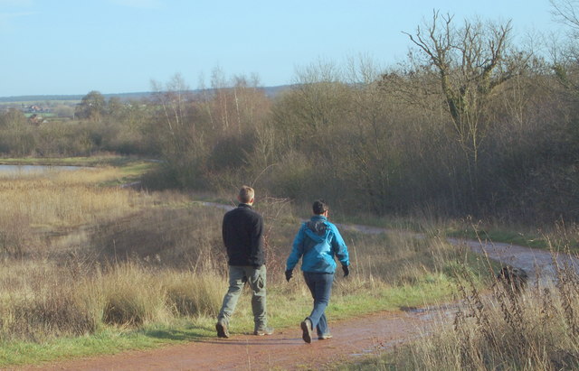
Image: © David Hallam-Jones Taken: 28 Jan 2016
Shirebrook Wood has been developed on the site of the former Shirebrook Pit Top and lies between Sookholme village (Notts) and Shirebrook (Derbyshire). Most of this country park, extensive mosaic of woodland, grassland and wetland areas that it is, lies on the Nottinghamshire side of the administrative boundary, behind the photographer. Shirebrook Colliery functioned between 1896-1993.
Images are licensed for reuse under creativecommons.org/licenses/by-sa/2.0
Image Location
Latitude
53.192907
Longitude
-1.201304