Hall Farm, Sookholme, Notts.
Introduction
The photograph on this page of Hall Farm, Sookholme, Notts. by David Hallam-Jones as part of the Geograph project.
The Geograph project started in 2005 with the aim of publishing, organising and preserving representative images for every square kilometre of Great Britain, Ireland and the Isle of Man.

There are currently over 7.5m images from over 14,400 individuals and you can help contribute to the project by visiting https://www.geograph.org.uk
Hall Farm, Sookholme, Notts.
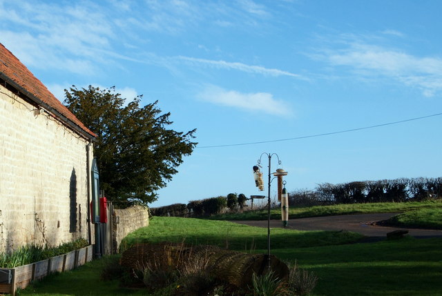
Image: © David Hallam-Jones Taken: 28 Jan 2016
This view from the rear of the barn of Hall Farm provides glimpses of Sookholme Road (the B6407) curving right and Sookholme Lane sloping upwards on the left. This Grade II-listed barn, that has been converted into residential accommodation, dates from the early and mid C19th. St Augustine’s Church is situated 150 yds along Sookholme Lane.
Images are licensed for reuse under creativecommons.org/licenses/by-sa/2.0
Image Location
Latitude
53.195744
Longitude
-1.182241