Sookholme Lane, Market Warsop, Notts.
Introduction
The photograph on this page of Sookholme Lane, Market Warsop, Notts. by David Hallam-Jones as part of the Geograph project.
The Geograph project started in 2005 with the aim of publishing, organising and preserving representative images for every square kilometre of Great Britain, Ireland and the Isle of Man.

There are currently over 7.5m images from over 14,400 individuals and you can help contribute to the project by visiting https://www.geograph.org.uk
Sookholme Lane, Market Warsop, Notts.
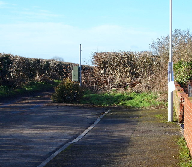
Image: © David Hallam-Jones Taken: 28 Jan 2016
This is the front (boundary) wall belonging to the final (or first) house on the residentially-developed section of Sookholme Lane. The remainder of it, approximately two miles in length, is a track passing through agricultural land. A third of the way along its length from this end, a stone bridge carries users across the River Meden
Images are licensed for reuse under creativecommons.org/licenses/by-sa/2.0
Image Location
Latitude
53.20262
Longitude
-1.162648