Station Road benchmark
Introduction
The photograph on this page of Station Road benchmark by Neil Owen as part of the Geograph project.
The Geograph project started in 2005 with the aim of publishing, organising and preserving representative images for every square kilometre of Great Britain, Ireland and the Isle of Man.

There are currently over 7.5m images from over 14,400 individuals and you can help contribute to the project by visiting https://www.geograph.org.uk
Station Road benchmark
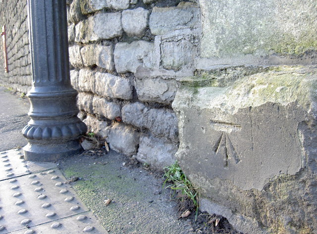
Image: © Neil Owen Taken: 28 Jan 2016
A cutmark, as listed in the Benchmark Database: http://www.bench-marks.org.uk/bm72974 , on the stone entrance on Station Road. See Image] for a wider view of the home that overlooks the railway line.
Images are licensed for reuse under creativecommons.org/licenses/by-sa/2.0
Image Location
Latitude
51.418238
Longitude
-2.497228