Churchyard path, Rogiet
Introduction
The photograph on this page of Churchyard path, Rogiet by Jaggery as part of the Geograph project.
The Geograph project started in 2005 with the aim of publishing, organising and preserving representative images for every square kilometre of Great Britain, Ireland and the Isle of Man.

There are currently over 7.5m images from over 14,400 individuals and you can help contribute to the project by visiting https://www.geograph.org.uk
Churchyard path, Rogiet
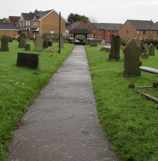
Image: © Jaggery Taken: 24 Jan 2016
It's about 50 metres from the entrance door to St Mary's Church http://www.geograph.org.uk/photo/4806781 to the lychgate. http://www.geograph.org.uk/photo/4806770
Images are licensed for reuse under creativecommons.org/licenses/by-sa/2.0
Image Location
Latitude
51.584988
Longitude
-2.784969