Avenue of trees in Jubilee Park
Introduction
The photograph on this page of Avenue of trees in Jubilee Park by easthantsxc as part of the Geograph project.
The Geograph project started in 2005 with the aim of publishing, organising and preserving representative images for every square kilometre of Great Britain, Ireland and the Isle of Man.

There are currently over 7.5m images from over 14,400 individuals and you can help contribute to the project by visiting https://www.geograph.org.uk
Avenue of trees in Jubilee Park
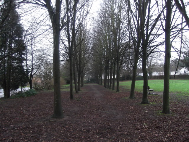
Image: © easthantsxc Taken: 24 Jan 2016
Jubilee Park, named after the year it was opened, 1977 Queens Silver Jubilee. This avenue of trees runs parallel with Mill Chase Rd
Images are licensed for reuse under creativecommons.org/licenses/by-sa/2.0
Image Location
Latitude
51.112179
Longitude
-0.8534