Track at the edge of Brithdir
Introduction
The photograph on this page of Track at the edge of Brithdir by Jaggery as part of the Geograph project.
The Geograph project started in 2005 with the aim of publishing, organising and preserving representative images for every square kilometre of Great Britain, Ireland and the Isle of Man.

There are currently over 7.5m images from over 14,400 individuals and you can help contribute to the project by visiting https://www.geograph.org.uk
Track at the edge of Brithdir
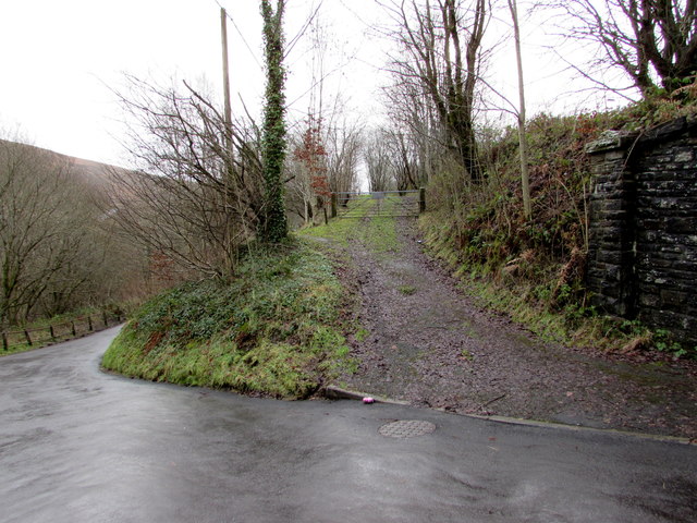
Image: © Jaggery Taken: 23 Jan 2016
On the south side of this http://www.geograph.org.uk/photo/4806298 road, near the railway bridge http://www.geograph.org.uk/photo/4806293 on the right.
Images are licensed for reuse under creativecommons.org/licenses/by-sa/2.0
Image Location


Leaflet Map data © OpenStreetMap
Latitude
51.710395
Longitude
-3.228289