Main buildings, Damyns Hall aerodrome
Introduction
The photograph on this page of Main buildings, Damyns Hall aerodrome by Robin Webster as part of the Geograph project.
The Geograph project started in 2005 with the aim of publishing, organising and preserving representative images for every square kilometre of Great Britain, Ireland and the Isle of Man.

There are currently over 7.5m images from over 14,400 individuals and you can help contribute to the project by visiting https://www.geograph.org.uk
Main buildings, Damyns Hall aerodrome
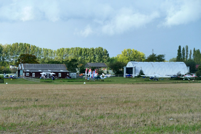
Image: © Robin Webster Taken: 18 Sep 2011
The black building is the Aviator Cafe.
Images are licensed for reuse under creativecommons.org/licenses/by-sa/2.0
Image Location
Latitude
51.531133
Longitude
0.246476