Clogher Road
Introduction
The photograph on this page of Clogher Road by Robert Ashby as part of the Geograph project.
The Geograph project started in 2005 with the aim of publishing, organising and preserving representative images for every square kilometre of Great Britain, Ireland and the Isle of Man.

There are currently over 7.5m images from over 14,400 individuals and you can help contribute to the project by visiting https://www.geograph.org.uk
Clogher Road
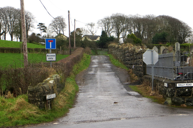
Image: © Robert Ashby Taken: 24 Jan 2016
On my rather elderly though still useful for cycling OS map this is shown as a through road providing a bit of a short cut to the Cushendall Road. It appears to have been annexed by someone and, by the official looking signage, with the sanction of the powers that be. Not that it was much of a short-cut anyway even for a cyclist.
Images are licensed for reuse under creativecommons.org/licenses/by-sa/2.0
Image Location
Latitude
54.898187
Longitude
-6.266203