Clayton War Memorial
Introduction
The photograph on this page of Clayton War Memorial by Gerald England as part of the Geograph project.
The Geograph project started in 2005 with the aim of publishing, organising and preserving representative images for every square kilometre of Great Britain, Ireland and the Isle of Man.

There are currently over 7.5m images from over 14,400 individuals and you can help contribute to the project by visiting https://www.geograph.org.uk
Clayton War Memorial
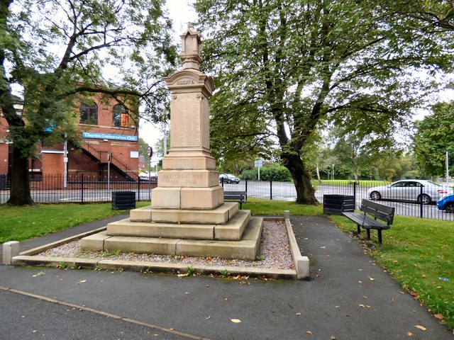
Image: © Gerald England Taken: 12 Sep 2015
The cenotaph at Clayton is 26 feet high, four square and raised on steps. The names of the 230 dead from The Great War 1914 - 1918 are listed on panels on the sides. It was unveiled on 20th August 1922. A list the names including the 15 added for the 1939-1945 War can be found at http://manchestersalfordfamilyhistory.weebly.com/clayton-area.html
Images are licensed for reuse under creativecommons.org/licenses/by-sa/2.0
Image Location
Latitude
53.482814
Longitude
-2.179886