Cattle grid on St Cleer Downs
Introduction
The photograph on this page of Cattle grid on St Cleer Downs by Derek Harper as part of the Geograph project.
The Geograph project started in 2005 with the aim of publishing, organising and preserving representative images for every square kilometre of Great Britain, Ireland and the Isle of Man.

There are currently over 7.5m images from over 14,400 individuals and you can help contribute to the project by visiting https://www.geograph.org.uk
Cattle grid on St Cleer Downs
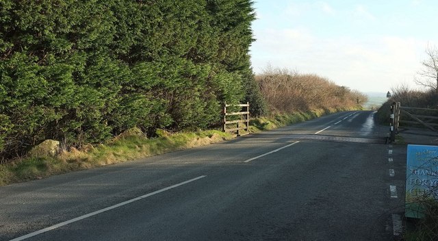
Image: © Derek Harper Taken: 20 Jan 2016
A view of Image from the other side. The road then begins a steady descent across the downs.
Images are licensed for reuse under creativecommons.org/licenses/by-sa/2.0
Image Location
Latitude
50.484796
Longitude
-4.468592