Track near St Cleer
Introduction
The photograph on this page of Track near St Cleer by Derek Harper as part of the Geograph project.
The Geograph project started in 2005 with the aim of publishing, organising and preserving representative images for every square kilometre of Great Britain, Ireland and the Isle of Man.

There are currently over 7.5m images from over 14,400 individuals and you can help contribute to the project by visiting https://www.geograph.org.uk
Track near St Cleer
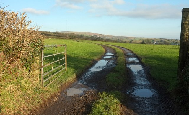
Image: © Derek Harper Taken: 20 Jan 2016
This is opposite the footpath referred to in Image], but isn't a right of way, though it intersects with footpath 624 16/1 in about 180 metres. On the horizon left of centre is Caradon Hill.
Images are licensed for reuse under creativecommons.org/licenses/by-sa/2.0
Image Location
Latitude
50.490391
Longitude
-4.480445