High Street, Market Warsop, Notts.
Introduction
The photograph on this page of High Street, Market Warsop, Notts. by David Hallam-Jones as part of the Geograph project.
The Geograph project started in 2005 with the aim of publishing, organising and preserving representative images for every square kilometre of Great Britain, Ireland and the Isle of Man.

There are currently over 7.5m images from over 14,400 individuals and you can help contribute to the project by visiting https://www.geograph.org.uk
High Street, Market Warsop, Notts.
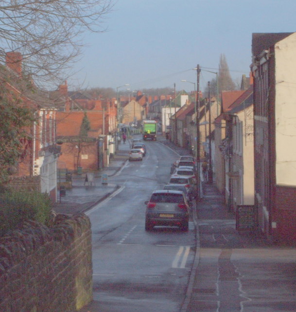
Image: © David Hallam-Jones Taken: 23 Jan 2016
The cul-de-sac end of High Street peters out ahead and all that remains of it is a short path - behind the photographer - that provides pedestrians with a link to those houses on the edge of the town, i.e. on either side of the A60 that leads to Mansfield.
Images are licensed for reuse under creativecommons.org/licenses/by-sa/2.0
Image Location
Latitude
53.203467
Longitude
-1.155295