Path near Gruggies Burn
Introduction
The photograph on this page of Path near Gruggies Burn by Lairich Rig as part of the Geograph project.
The Geograph project started in 2005 with the aim of publishing, organising and preserving representative images for every square kilometre of Great Britain, Ireland and the Isle of Man.

There are currently over 7.5m images from over 14,400 individuals and you can help contribute to the project by visiting https://www.geograph.org.uk
Path near Gruggies Burn
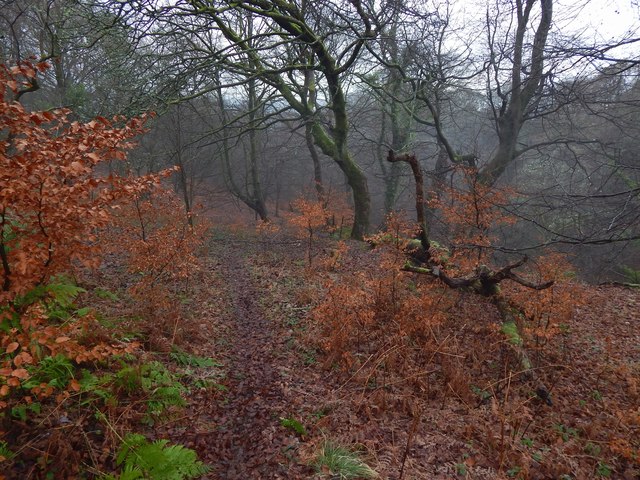
Image: © Lairich Rig Taken: 8 Jan 2016
As the map shows, the ground falls away on both sides of the path, but for different reasons. In this view downhill, the ground slopes away towards Image on the right (west). Not far to the left (east), but not evident in this picture, there is a more precipitous drop into the lower half of the disused Image Followed in the direction shown here, the path leads down to the side of Gruggies Burn, and then, via the short Image, to the main road (Stirling Road). For a view uphill instead, see Image
Images are licensed for reuse under creativecommons.org/licenses/by-sa/2.0
Image Location
Latitude
55.94501
Longitude
-4.537822