Structure near Knowetop Community Farm
Introduction
The photograph on this page of Structure near Knowetop Community Farm by Lairich Rig as part of the Geograph project.
The Geograph project started in 2005 with the aim of publishing, organising and preserving representative images for every square kilometre of Great Britain, Ireland and the Isle of Man.

There are currently over 7.5m images from over 14,400 individuals and you can help contribute to the project by visiting https://www.geograph.org.uk
Structure near Knowetop Community Farm
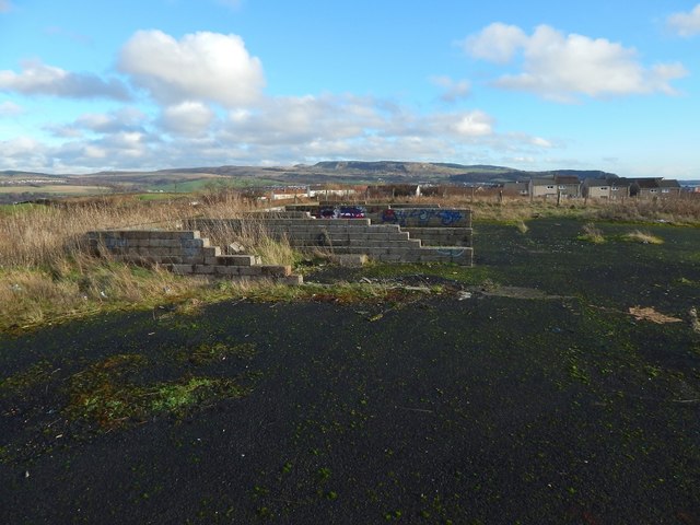
Image: © Lairich Rig Taken: 29 Dec 2015
The area is shown from the other side in Image In the present view, Image are in the background. The nearest group of houses on the right are on Knowetop Crescent.
Images are licensed for reuse under creativecommons.org/licenses/by-sa/2.0
Image Location


Leaflet Map data © OpenStreetMap
Latitude
55.951455
Longitude
-4.595112