Catchgate village centre
Introduction
The photograph on this page of Catchgate village centre by Robert Graham as part of the Geograph project.
The Geograph project started in 2005 with the aim of publishing, organising and preserving representative images for every square kilometre of Great Britain, Ireland and the Isle of Man.

There are currently over 7.5m images from over 14,400 individuals and you can help contribute to the project by visiting https://www.geograph.org.uk
Catchgate village centre
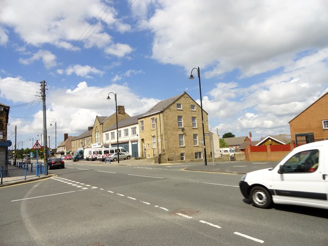
Image: © Robert Graham Taken: 11 Jun 2014
This is the crossroads where Blackett Street, on the left, and Kyo Road, on the right, connect with North Road. The large three storey dwelling in the centre was built in the 1860's, as was the rest of the row, except for the garage. This was built in 1932 to replace a burnt down mill.
Images are licensed for reuse under creativecommons.org/licenses/by-sa/2.0
Image Location
Latitude
54.863416
Longitude
-1.745246