Holme Farmhouse, Main Street
Introduction
The photograph on this page of Holme Farmhouse, Main Street by Alan Murray-Rust as part of the Geograph project.
The Geograph project started in 2005 with the aim of publishing, organising and preserving representative images for every square kilometre of Great Britain, Ireland and the Isle of Man.

There are currently over 7.5m images from over 14,400 individuals and you can help contribute to the project by visiting https://www.geograph.org.uk
Holme Farmhouse, Main Street
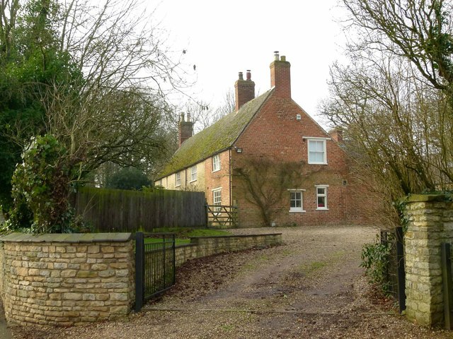
Image: © Alan Murray-Rust Taken: 19 Jan 2016
18th century farmhouse in coursed limestone rubble, extended in brick in the early 20th century when the tiled roof was added. Listed Grade II.
Images are licensed for reuse under creativecommons.org/licenses/by-sa/2.0
Image Location


Leaflet Map data © OpenStreetMap
Latitude
52.711144
Longitude
-0.668801