Durhamgate
Introduction
The photograph on this page of Durhamgate by JThomas as part of the Geograph project.
The Geograph project started in 2005 with the aim of publishing, organising and preserving representative images for every square kilometre of Great Britain, Ireland and the Isle of Man.

There are currently over 7.5m images from over 14,400 individuals and you can help contribute to the project by visiting https://www.geograph.org.uk
Durhamgate
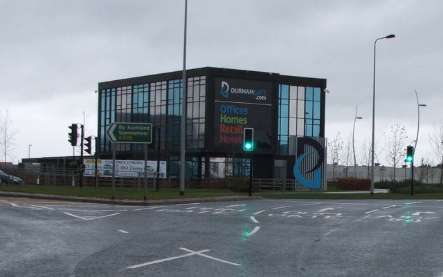
Image: © JThomas Taken: 28 Nov 2015
Durhamgate is the largest mixed-use regeneration scheme in the North East of England, incorporating commercial, living and leisure opportunities
Images are licensed for reuse under creativecommons.org/licenses/by-sa/2.0
Image Location
Latitude
54.70583
Longitude
-1.568076