Bourtie Parish Kirk
Introduction
The photograph on this page of Bourtie Parish Kirk by Anne Burgess as part of the Geograph project.
The Geograph project started in 2005 with the aim of publishing, organising and preserving representative images for every square kilometre of Great Britain, Ireland and the Isle of Man.

There are currently over 7.5m images from over 14,400 individuals and you can help contribute to the project by visiting https://www.geograph.org.uk
Bourtie Parish Kirk
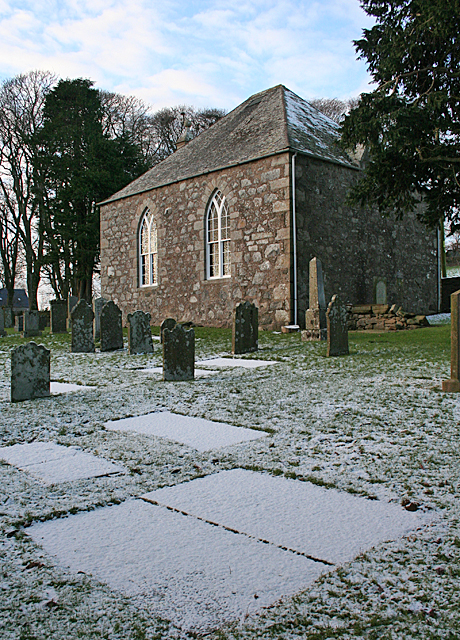
Image: © Anne Burgess Taken: 20 Jan 2016
A simple rectangle with Gothic windows, the kirk dates from 1806. see https://canmore.org.uk/site/19727/bourtie-parish-church .
Images are licensed for reuse under creativecommons.org/licenses/by-sa/2.0
Image Location
Latitude
57.313795
Longitude
-2.326194