Development site on Upper Cambrian Road, Chester (13/01/16)
Introduction
The photograph on this page of Development site on Upper Cambrian Road, Chester (13/01/16) by Jeff Buck as part of the Geograph project.
The Geograph project started in 2005 with the aim of publishing, organising and preserving representative images for every square kilometre of Great Britain, Ireland and the Isle of Man.

There are currently over 7.5m images from over 14,400 individuals and you can help contribute to the project by visiting https://www.geograph.org.uk
Development site on Upper Cambrian Road, Chester (13/01/16)
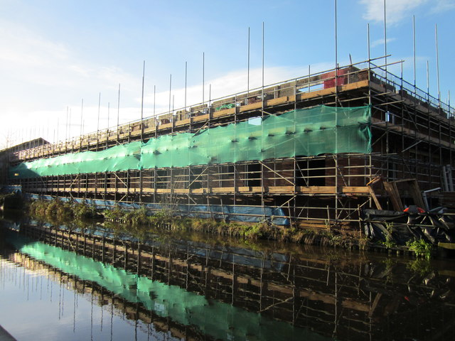
Image: © Jeff Buck Taken: 13 Jan 2016
New apartments being built between Upper Cambrian Road and the Shropshire Union Canal. Almost the same view compared with Image
Images are licensed for reuse under creativecommons.org/licenses/by-sa/2.0
Image Location
Latitude
53.195859
Longitude
-2.901057