Looking south down Tontine Street
Introduction
The photograph on this page of Looking south down Tontine Street by John Baker as part of the Geograph project.
The Geograph project started in 2005 with the aim of publishing, organising and preserving representative images for every square kilometre of Great Britain, Ireland and the Isle of Man.

There are currently over 7.5m images from over 14,400 individuals and you can help contribute to the project by visiting https://www.geograph.org.uk
Looking south down Tontine Street
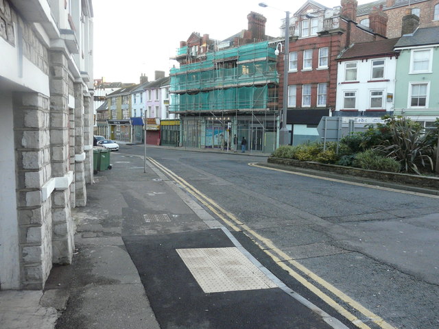
Image: © John Baker Taken: 7 Jan 2016
To where The Counselling Centre, at numbers 65-67, and the premises at number 69 have had scaffolding and green safety netting erected on their frontages.
Images are licensed for reuse under creativecommons.org/licenses/by-sa/2.0
Image Location
Latitude
51.081763
Longitude
1.182344