Victoria Street, Mansfield, Notts.
Introduction
The photograph on this page of Victoria Street, Mansfield, Notts. by David Hallam-Jones as part of the Geograph project.
The Geograph project started in 2005 with the aim of publishing, organising and preserving representative images for every square kilometre of Great Britain, Ireland and the Isle of Man.

There are currently over 7.5m images from over 14,400 individuals and you can help contribute to the project by visiting https://www.geograph.org.uk
Victoria Street, Mansfield, Notts.
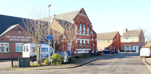
Image: © David Hallam-Jones Taken: 20 Jan 2016
The Salvation Army Church Centre situated on the side of a T junction formed by Victoria St (i.e. behind the photographer and ahead too) with Tenter Street branching off to the left. As well as home to traditional facilities, i.e its Citadel and hall, it is also an accredited Contact Centre where estranged parents can have supervised periodic contact with a parent.
Images are licensed for reuse under creativecommons.org/licenses/by-sa/2.0
Image Location
Latitude
53.140247
Longitude
-1.203776