Handcroft Road, Croydon
Introduction
The photograph on this page of Handcroft Road, Croydon by Stephen McKay as part of the Geograph project.
The Geograph project started in 2005 with the aim of publishing, organising and preserving representative images for every square kilometre of Great Britain, Ireland and the Isle of Man.

There are currently over 7.5m images from over 14,400 individuals and you can help contribute to the project by visiting https://www.geograph.org.uk
Handcroft Road, Croydon
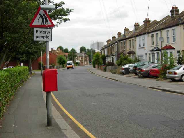
Image: © Stephen McKay Taken: 27 Jun 2007
Suburban area to the west of Croydon town centre. Note the use of front gardens as car parks - an increasingly common practice in London as elsewhere - that is ptting additional pressure on the drain and sewer network.
Images are licensed for reuse under creativecommons.org/licenses/by-sa/2.0
Image Location
Latitude
51.38119
Longitude
-0.108363