Heol fynedfa Esgerwen / Esgerwen access road
Introduction
The photograph on this page of Heol fynedfa Esgerwen / Esgerwen access road by Alan Richards as part of the Geograph project.
The Geograph project started in 2005 with the aim of publishing, organising and preserving representative images for every square kilometre of Great Britain, Ireland and the Isle of Man.

There are currently over 7.5m images from over 14,400 individuals and you can help contribute to the project by visiting https://www.geograph.org.uk
Heol fynedfa Esgerwen / Esgerwen access road
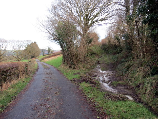
Image: © Alan Richards Taken: 19 Jan 2016
Heol fynedfa yn arwain at Ffarm Esgerwen. Access road heading towards Esgerwen Farm < Esgairwen (trans. fair ridge).
Images are licensed for reuse under creativecommons.org/licenses/by-sa/2.0
Image Location


Leaflet Map data © OpenStreetMap
Latitude
52.032365
Longitude
-4.060028