Copley Bridge, collapsed, downstream side
Introduction
The photograph on this page of Copley Bridge, collapsed, downstream side by Humphrey Bolton as part of the Geograph project.
The Geograph project started in 2005 with the aim of publishing, organising and preserving representative images for every square kilometre of Great Britain, Ireland and the Isle of Man.

There are currently over 7.5m images from over 14,400 individuals and you can help contribute to the project by visiting https://www.geograph.org.uk
Copley Bridge, collapsed, downstream side
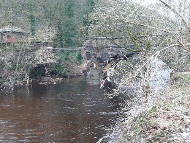
Image: © Humphrey Bolton Taken: 18 Jan 2016
The southern arch has gone, leaving the services suspended in mid-air. Access to the church and the former toll cottage is now via an unsurfaced road from Upper Greetland.
Images are licensed for reuse under creativecommons.org/licenses/by-sa/2.0
Image Location
Latitude
53.697613
Longitude
-1.873496