Small Burn below Turf Hill
Introduction
The photograph on this page of Small Burn below Turf Hill by Gwen and James Anderson as part of the Geograph project.
The Geograph project started in 2005 with the aim of publishing, organising and preserving representative images for every square kilometre of Great Britain, Ireland and the Isle of Man.

There are currently over 7.5m images from over 14,400 individuals and you can help contribute to the project by visiting https://www.geograph.org.uk
Small Burn below Turf Hill
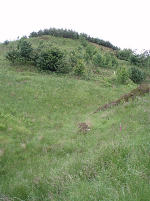
Image: © Gwen and James Anderson Taken: 28 Jun 2007
This small burn is unnamed but joins with the Burn of Corogle just below this point.
Images are licensed for reuse under creativecommons.org/licenses/by-sa/2.0
Image Location
Latitude
56.734313
Longitude
-3.052275