Roadside Embankment
Introduction
The photograph on this page of Roadside Embankment by Bonelli as part of the Geograph project.
The Geograph project started in 2005 with the aim of publishing, organising and preserving representative images for every square kilometre of Great Britain, Ireland and the Isle of Man.

There are currently over 7.5m images from over 14,400 individuals and you can help contribute to the project by visiting https://www.geograph.org.uk
Roadside Embankment
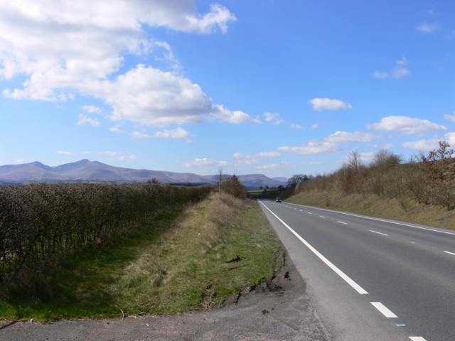
Image: © Bonelli Taken: Unknown
A470 embankment. Gateway on left into field shows tarmac from the old main road course.
Images are licensed for reuse under creativecommons.org/licenses/by-sa/2.0
Image Location
Latitude
51.969906
Longitude
-3.341932