Cassiobury Way, Torquay
Introduction
The photograph on this page of Cassiobury Way, Torquay by Derek Harper as part of the Geograph project.
The Geograph project started in 2005 with the aim of publishing, organising and preserving representative images for every square kilometre of Great Britain, Ireland and the Isle of Man.

There are currently over 7.5m images from over 14,400 individuals and you can help contribute to the project by visiting https://www.geograph.org.uk
Cassiobury Way, Torquay
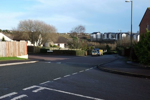
Image: © Derek Harper Taken: 10 Jan 2016
The junctions with Skye Close (right) and Lindisfarne Way. There's a North British (mainly Scottish) island theme to the street names here, but how did Cassiobury get in there? Perhaps the developer came from Watford. On the hill across the former Barton landfill site is the more recent housing at Orchid Way.
Images are licensed for reuse under creativecommons.org/licenses/by-sa/2.0
Image Location
Latitude
50.491062
Longitude
-3.548127