Farndon, Notts.
Introduction
The photograph on this page of Farndon, Notts. by David Hallam-Jones as part of the Geograph project.
The Geograph project started in 2005 with the aim of publishing, organising and preserving representative images for every square kilometre of Great Britain, Ireland and the Isle of Man.

There are currently over 7.5m images from over 14,400 individuals and you can help contribute to the project by visiting https://www.geograph.org.uk
Farndon, Notts.
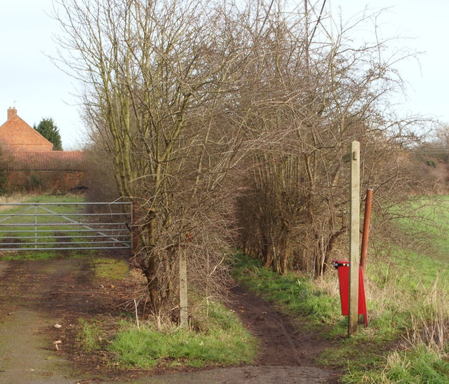
Image: © David Hallam-Jones Taken: 16 Jan 2016
At the extreme eastern end of Marsh Lane, Farndon's principal through-route, becomes an unmade road of approximately 500 metres in length servicing houses on either side of it before petering out to become a track that finally becomes a footpath. This is the commencement of that footpath that leads - within 5 minutes - to Crees Lane.
Images are licensed for reuse under creativecommons.org/licenses/by-sa/2.0
Image Location
Latitude
53.065167
Longitude
-0.840281